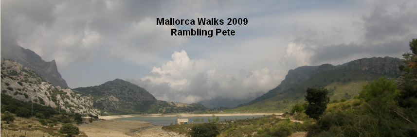
2nd October 2009
Map: Mallorca Tramuntana Central 1:25000
Weather: Sunshine with some cloudy patches
From the Cuber reservoir up the GR221 to Puig de l’Ofre and back via Coll des Cards to the GR221: 7 miles by Satmap gps in 4 ½ hrs – but who’s counting?
After yesterdays disappointment of the cloud cover over Puig l’Ofre I managed to persuade Mrs RP to join me for a walk back up to the top. We stopped at the local store in Deia and bought a few things for a picnic – pasties and the like – and to be honest they didn’t last long. As we arrived the small parking area was already full so we nipped around the corner to another car park that served the Tossals Verd walks. It was looking good for our walk and the golf ball on top of Puig Major was shining brightly in the sun, but there were still clouds scudding around the surrounding hills.

Puig Major with the radar station – some lovely hills surround the area

Puig l’Ofre peaking up behind Sa Rateta on the left
But generally the sky was clear and it looked set fair for a good day out as we set out on the GR221 once again. We passed by the donkey – he wasn’t so pleased to see me today – and a little further on was a very persistent dung beetle shoving for all his worth a body sized piece of dung. Amazing to watch for a little while, it shoved with its back legs up and over rocks the equivalent size of a house. Up towards the head of the valley things were looking up and the ridge I walked yesterday was clear of cloud. But as we walked up through the woods I could see the hint of mist forming up around l’Ofre, and as we got to the Coll de l’Ofre and looked back down the valley the ridge was now looking a bit fuzzy – doh.

Looking back to the refugi from the GR221

At the Coll de l’Ofre

Some great skyscapes – but no view down to Soller - again
So we sat amongst the Germans and had a delicious little picnic of a slice of cold pizza, a vegetable pasty, and a can of coke – lovely. After 30 mins of relaxation we made our way around the base of Puig l’Ofre and started up the steep slope to the top. It only took about 35mins from the Coll de l’Ofre and the steep pull was 20 mins of that. Up on the summit again there was more frustration as the clouds billowed in from Soller – mind you they did look quite spectacular, so once again we sat and waited to see if they would clear away. But although they broke now and again, it looked like they were there to stay. There was a young German couple and a single gent up on the summit, so I asked if the couple would like their photo taken – ‘Ja please, but make sure that man isn’t in the picture’ – in the loudest voice they had.

The GR221 snakes along the valley back to Cuber

The plains of Mallorca beyond the pork pie hills to the east
That made us laugh, so after chasing the butterfly around again, and nailing a photo of it, we walked back down the path we had come up, and took the route down the ridge of Puig l’Ofre to the Coll des Cards followed by the young German couple. They overtook us as we were looking out for a clear path back down to the valley. I checked the map and made for the far end of a grassy patch and followed the couple downhill until the next clearance. At this stage the mist had come right down and the rain started to fall lightly – fortunately it didn’t last long and we didn’t bother with waterproofs.

Looking down on the Col de l’Ofre

The Yellow Swallowtail
At another pylon the couple continued to the north while we turned the corner to follow a track to the south. About 5 mins later we had both turned around and met in the middle, but the Germans strode past us heading along the forest track. I wasn’t convinced, so it was out with the Satmap GPS, checked position on the map and sniffed out the correct path down to the GR221. Here we found the spring bursting forth from a patch of grass and running down hill on what looked like a path. So knowing water flows downhill along the easiest route, we set off to follow the stream, and lo and behold there was the path.

The feint path down to the valley – the Germans missed this one

Refugi de Caca ahead – with the rude donkey

The view from Soller – now you see me - harumph
Some 5 mins later we were down on the wide farm track, way ahead on the track in front of the Germans – we knew this one wouldn’t go to penalties. Even the donkey was pleased to see me again at the refuge – bad boy. As we walked around the reservoir a glance back up the valley showed the hills to be clear as a bell – rats – if we’d only waited another 30mins, but then again who knows. As we drove through Soller we had the clearest view of the mountains all week – ‘I don’t bloody believe it’ going home tomorrow. But I think I’ll be back in spring maybe, Mallorca is a brilliant place for a walk.

No comments:
Post a Comment